

About MXAK
Established in 2001 to fill critical information gaps and coverage in Alaska, MXAK has since become the leading source of maritime domain awareness across the state.
Mission
Provide information, communications, and services to aid safe, secure, efficient, and environmentally responsible maritime operations.
Founded out of necessity
The Marine Exchange of Alaska was established to strengthen safety, security, and environmental stewardship across Alaska’s vast maritime domain. MXAK pioneered one of the nation’s earliest comprehensive vessel tracking and information systems—providing real‑time situational awareness in some of the world’s most remote and challenging waters. Today, as a nonprofit headquartered in Juneau, MXAK continues its mission to support safe, efficient, and environmentally responsible maritime operations throughout Alaska and the greater Pacific region.
Lines of Effort
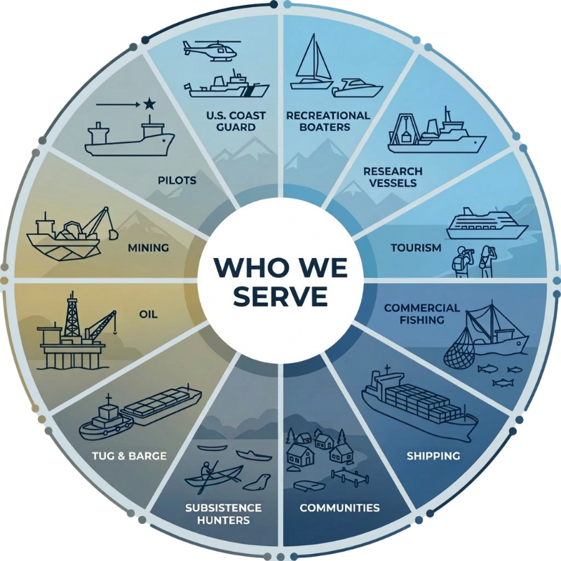
Who we Serve
Automatic Identification System (AIS) Services
Ch. A (161.975 MHz) and Ch. B (162.025 MHz)
AIS Receive:
- All AIS Message Types
AIS Transmit:
- Message 12: Addressed Safety Messages
- Message 14: Broadcast Safety Messages
- Message 21: Aids to Navigation (ATON)
- Message 8: Binary Broadcast Messages
- Environmental Messaging
- Geographic Notices with Linked Text
Distress Communication Services
Maritime Frequency Band (156-174 MHz)
AIS Transmit:
- Message 12: Addressed Safety Messages
- Message 14: Broadcast Safety Messages
- Message 21: Aids to Navigation (ATON)
- Message 8: Binary Broadcast Messages
- Environmental Messaging
- Geographic Notices with Linked Text
To date, MXAK has installed 27 VHF Voice & DSC Maritime Coast Stations
Environmental Data Services
Types of Services Provided:
- Terrestrial (fixed) and mobile (vessel) environmental stations:
- Wind Speed & Direction
- Temperature
- Pressure
- Dew Point
- Sea State Web Cameras
- Current Sensing for Ports & Harbors
Regulatory Compliance
Types of Services Provided:
- Port Security Audits & Training
- Cruise Ship Environmental Monitoring
- Vessel Security Audits & Training
- Port Environmental Best Management Practices (BMP)
- Emergency Response Plans
Application Profram Interface (API) Services
Types of Services Provided:
- Station Weather
- Vessel Weather
- Web Camera Imagery
- Current Sensor
- Precipitation Analyzer
Geographic Information Services (GIS)
Types of Services Provided:
- Presentation of Historical Vessel Tracks:
- Vessel Density Reports
- Vessel Track Line Reports
- Vessel Passage Line Reports
- Geofencing and Altering
- Raw AIS Data
- CSV Format
- Video Replay