
Vessel Tracking System
View real‑time vessel positions, track transits, set alerts, replay movements, and integrate additional safety information such as weather and navigational resources.
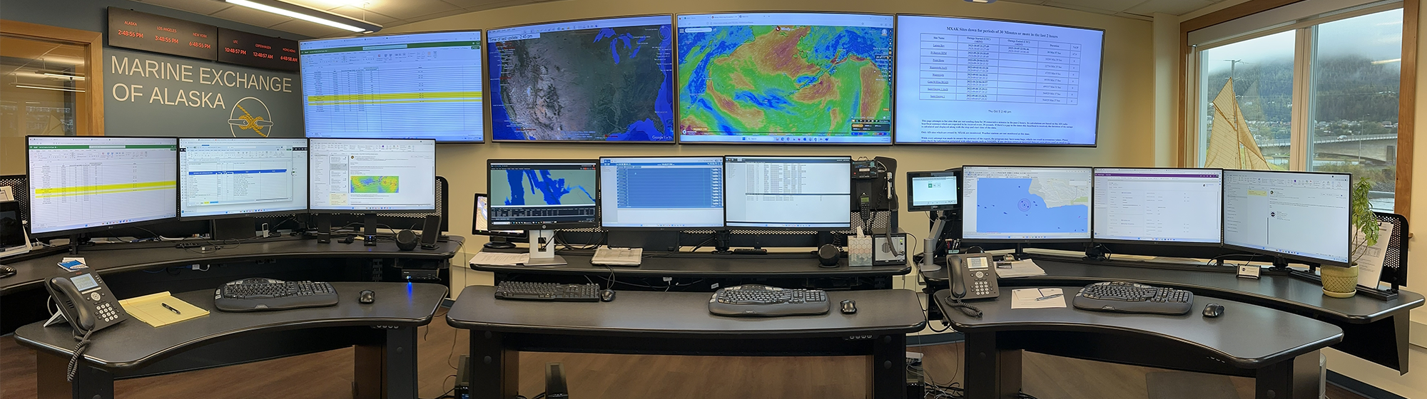
MXAK's Vessel Tracking System is one of the most extensive maritime monitoring networks in the world, designed to support safe, efficient, and environmentally responsible operations across Alaska’s vast and challenging waters. Built to address the unique risks of remote geography, extreme weather, and limited response infrastructure, the system provides critical maritime domain awareness for mariners, ports, regulators, and response agencies.
By incorporating Automatic Identification System (AIS) data gathered from a vast network of over 150 terrestrial AIS receiving stations, and satellite coverage, millions of vessel position reports are collected and made available to members each day. Access to vessel tracking information is provided through PACTRACS, MXAK’s secure, web‑based display system. PACTRACS allows authorized users to view real‑time vessel positions, track transits, set alerts, replay historical movements, and integrate additional safety information such as weather and navigational resources. The system supports both day‑to‑day operational planning and long‑term analysis to reduce risk and prevent marine casualties.
Key features include:
- Access to up to 6 months of data
- Ability to create tracklines
- Different membership levels to meet tracking needs
- Weather overlay
- Ability to set alarms to be sent to email
- History replay
- Quick ship list function